![[A Voyage Towards the South Pole, and Round the World. Performed in His Majesty's Ships the Resolution and Adventure, in the Years 1772, 1773, 1774, and 1775]](https://jamescumminsbookseller.cdn.bibliopolis.com/pictures/376185.jpg?auto=webp&v=1771427739)
![[A Voyage Towards the South Pole, and Round the World. Performed in His Majesty's Ships the Resolution and Adventure, in the Years 1772, 1773, 1774, and 1775]](https://jamescumminsbookseller.cdn.bibliopolis.com/pictures/376185_2.jpg?auto=webp&v=1771427749)
![[A Voyage Towards the South Pole, and Round the World. Performed in His Majesty's Ships the Resolution and Adventure, in the Years 1772, 1773, 1774, and 1775]](https://jamescumminsbookseller.cdn.bibliopolis.com/pictures/376185_3.jpg?auto=webp&v=1771427745)
![[A Voyage Towards the South Pole, and Round the World. Performed in His Majesty's Ships the Resolution and Adventure, in the Years 1772, 1773, 1774, and 1775]](https://jamescumminsbookseller.cdn.bibliopolis.com/pictures/376185_4.jpg?auto=webp&v=1771427734)
![[A Voyage Towards the South Pole, and Round the World. Performed in His Majesty's Ships the Resolution and Adventure, in the Years 1772, 1773, 1774, and 1775]](https://jamescumminsbookseller.cdn.bibliopolis.com/pictures/376185_5.jpg?auto=webp&v=1771427723)
![[A Voyage Towards the South Pole, and Round the World. Performed in His Majesty's Ships the Resolution and Adventure, in the Years 1772, 1773, 1774, and 1775]](https://jamescumminsbookseller.cdn.bibliopolis.com/pictures/376185.jpg?width=768&height=1000&fit=bounds&auto=webp&v=1771427739)
![[A Voyage Towards the South Pole, and Round the World. Performed in His Majesty's Ships the Resolution and Adventure, in the Years 1772, 1773, 1774, and 1775]](https://jamescumminsbookseller.cdn.bibliopolis.com/pictures/376185_2.jpg?width=768&height=1000&fit=bounds&auto=webp&v=1771427749)
![[A Voyage Towards the South Pole, and Round the World. Performed in His Majesty's Ships the Resolution and Adventure, in the Years 1772, 1773, 1774, and 1775]](https://jamescumminsbookseller.cdn.bibliopolis.com/pictures/376185_3.jpg?width=768&height=1000&fit=bounds&auto=webp&v=1771427745)
![[A Voyage Towards the South Pole, and Round the World. Performed in His Majesty's Ships the Resolution and Adventure, in the Years 1772, 1773, 1774, and 1775]](https://jamescumminsbookseller.cdn.bibliopolis.com/pictures/376185_4.jpg?width=768&height=1000&fit=bounds&auto=webp&v=1771427734)
![[A Voyage Towards the South Pole, and Round the World. Performed in His Majesty's Ships the Resolution and Adventure, in the Years 1772, 1773, 1774, and 1775]](https://jamescumminsbookseller.cdn.bibliopolis.com/pictures/376185_5.jpg?width=768&height=1000&fit=bounds&auto=webp&v=1771427723)
Rare Separate Folio Atlas to Cook's Second Voyage
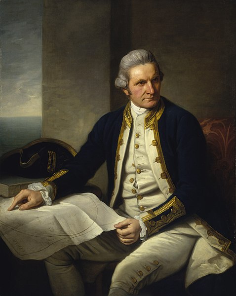
[A Voyage Towards the South Pole, and Round the World. Performed in His Majesty's Ships the Resolution and Adventure, in the Years 1772, 1773, 1774, and 1775].
[London: for W. Strahan and T. Cadell, 1777].
Price: $12,500.00
About the item
Atlas only, without text volumes. 63 plates and charts, several double-page. Uncut. Folio. Contemporary blue paper covered boards, later manuscript spine label, a bit worn. Foxing. Hill 358; Beddie 1216; Spence 314; Holmes 24; PMM 223; Sabin 16245; Rosove 77.
Item #376185
The goal of Cook’s second voyage, undertaken in 1772-75, was to circumnavigate the world as far south as possible in search of unknown southern lands. "The success of Cook's first voyage led the Admiralty to send him on a second expedition ... which was to circumnavigate the globe as far south as possible in search of any southern continents....[T]he men of this expedition became the first to cross the Antarctic Circle. Further visits were made to New Zealand, and on two great sweeps Cook made an astonishing series of discoveries and rediscoveries including Easter Island, the Marquesas, Tahiti and the Society Islands, Niue, the Tonga Islands, the New Hebrides, New Caledonia, Norfolk Island, and a number of smaller islands. Rounding Cape Horn, on the last part of the voyage, Cook discovered and charted South Georgia, after which he called at Cape Town, St. Helena and Ascension, and the Azores....This voyage produced a vast amount of information concerning the Pacific peoples and islands, proved the value of the chronometer as an aid to finding longitude, and improved techniques for preventing scurvy" (Hill).
Present here is a highly desirable separate atlas of the maps and plates to the first edition of the second voyage. Almost all copies of the second voyage had the engraved plates trimmed and folded into the two text volumes, but a very few examples were produced, likely for members of the Admiralty or other notables, with the plates unfolded, untrimmed and bound in atlas form (with the exception of the frontispiece portrait of Cook which remained in the text and therefore not present here). We have seen only a handful of examples of this format, which represent a distinct and special issue of the book, and note that the plates within such atlases tend to be far superior impressions than those found bound within the text volumes.
"Cook earned his place in history by opening up the Pacific to western civilization and by the foundation of British Australia. The world was given for the first time an essentially complete knowledge of the Pacific Ocean and Australia, and Cook proved once and for all that there was no great southern continent, as had always been believed. He also suggested the existence of antarctic land in the southern ice ring, a fact which was not proved until the explorations of the nineteenth century" (Printing and the Mind of Man).
The Cook voyages form the basis for any collection of Pacific exploration, and the second in particular is the foundation for any Antarctic collection.