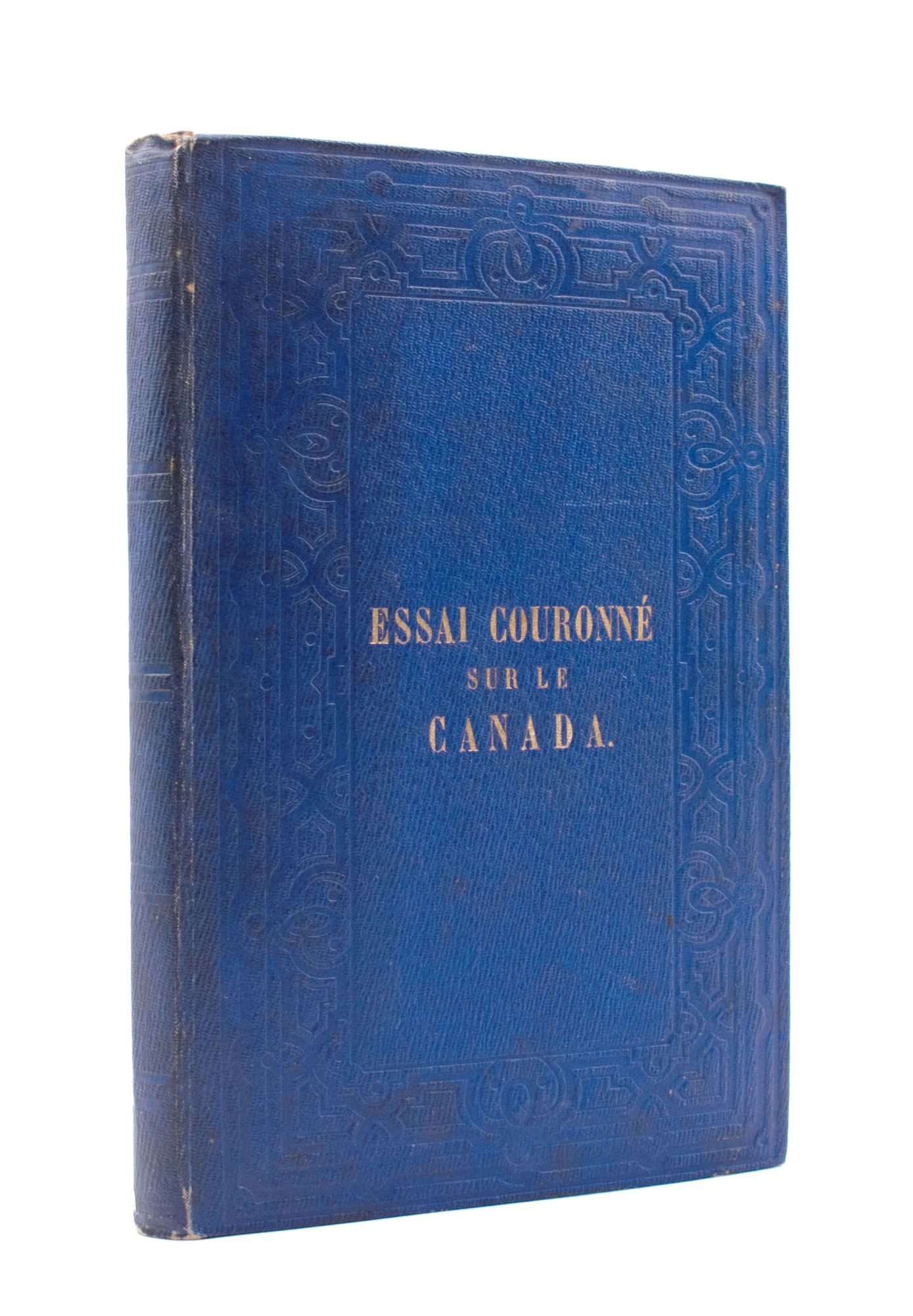
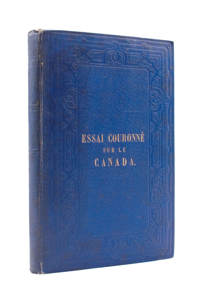
Le Canada. Essai auquel le Premier Prix a été adjugé par le Comité Canadien de l'Exposition de Paris.
Montreal: John Lovell, 1855.
Price: $250.00
About the item
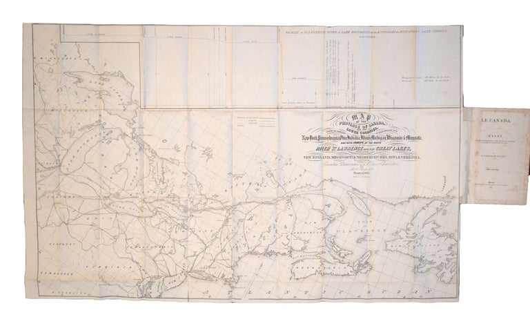
Two large folding maps. 106pp. 8vo. Publisher's blue cloth, blocked in blind and lettered in gilt, green endpapers. Minor foxing. Armorial bookplate. TPL 3557; Gagnon I:1696; Sabin 32422.
Item #351958
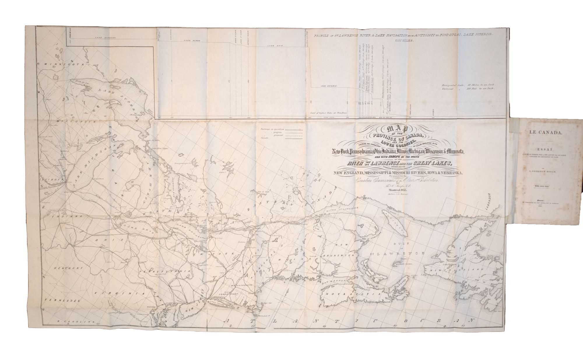
A very detailed description of every aspect of Canada, accompanied by a "Map of the Province of Canada, and the Lower Colonies, showing the connection by steam navigation with New York, Pennsylvania, Ohio, Indiana, Illinois, Michigan, Wisconsin & Minnesota...," and a map of "Mercators Projection. With the Great Circle (Shortest Sailing) or Air Lines. Illustrating the directness & capacity of the River St. Lawrence from Lake Erie to the Atlantic...." According to a note in TPL, the maps were apparently not issued with all copies.