


Fine Maps of the Holy Land
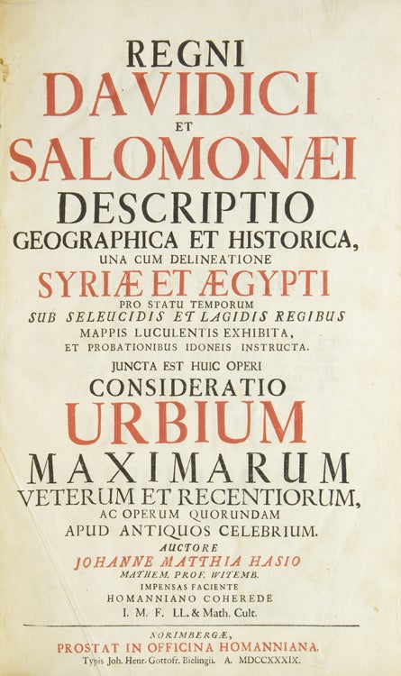
Regni Davidici et Salomon Descriptio Geographica et Historica, una cum delineatione Syriae e Aegypti … juncta est huic operi Consideratio Urbium Maximarum Veterum et Recentiorum ….
Norimberge [Nuremberg]: In Officina Hoffmaniana …, 1739.
Price: $4,000.00
About the item
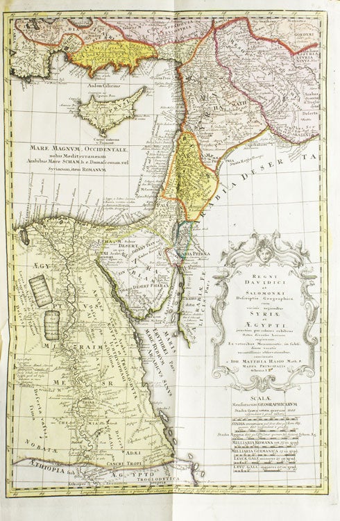
First edition. Title-page in red and black. 6 large folding engraved maps colored in outline, and 14 engraved plates and plans, all but one hand-colored, all after designs by Hasius. 1 vols. Folio. Fine Maps of the Holy Land. Later half black morocco and marbled paper boards, fine copy, plates and text immaculate.
Item #257218
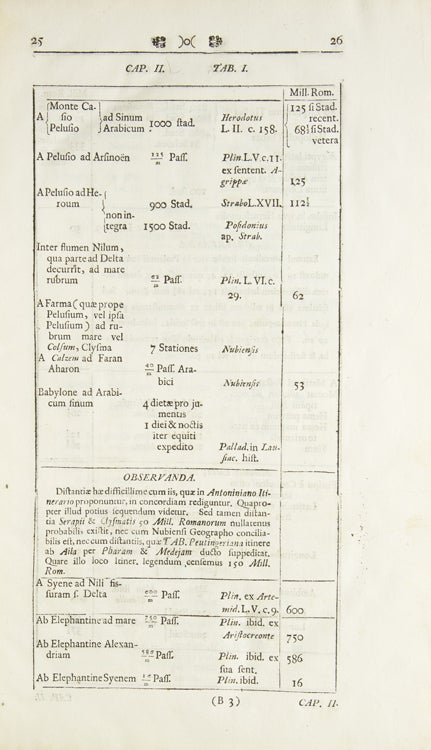
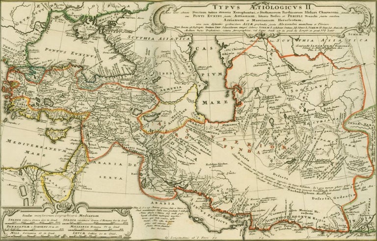
A beautiful book on the historical topography of the Holy Land and its surrounding regions, including Greece, Turkey and Cyprus to Egypt, Syria, up to the Caspian Sea. Johann Matthias Hase (1684-1742; also known as Haas; Has; Hasius; Haase) was professor of Mathematics at the University of Wittenberg from 1720, but his most enduring fame was as a cartographer. Here Hase has created 6 large, fine historical maps of Egypt, the Holy Land and the Near East — indeed, most of the Mediterranean — showing the region from the reign of David and Salomon (10th century BC) through that of Herod (end of 1st century BC). In the second part Hase presents descriptions and plans of the most important cities in the world (past and present), including Beijing, Kyoto, St Petersburg, Alexandria, Sinngan Fou, Campion, Su-Tscheu, Lima, Rome (ancient and now), Paris, London, etc.