![Item #244613 The North-West Boundary of Texas, U. S. Geological Survey Bulletin No. 194. Department of the Interior. [WITH]: 40 x 26 inch Map of the United States and Texas Boundary Line and Adjacent Territory Determined & Surveyed in 1857-8-9-60 By J. H. Clark, U. S. Commissioner. Texas, Baker.](https://jamescumminsbookseller.cdn.bibliopolis.com/pictures/244613.jpg?width=768&height=1000&fit=bounds&auto=webp&v=1389138388)
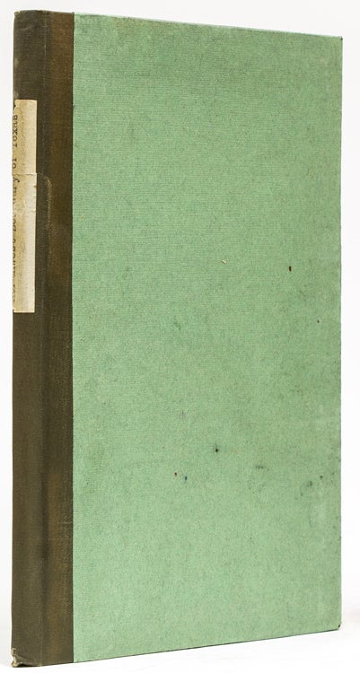
The North-West Boundary of Texas, U. S. Geological Survey Bulletin No. 194. Department of the Interior. [WITH]: 40 x 26 inch Map of the United States and Texas Boundary Line and Adjacent Territory Determined & Surveyed in 1857-8-9-60 By J. H. Clark, U. S. Commissioner.
Washington, D.C: Government Printing Office, 1902.
Price: $300.00
About the item
Clark, John. First edition. 50, [6] pp. 1 vols. 8vo. Later quarter cloth and boards, preserving original wrappers. Bookplate of James Torr Harmer. Fine.
Item #244613
Important: John Clark's large lithographic folding map of the Texas Panhandle area is first issued here.
