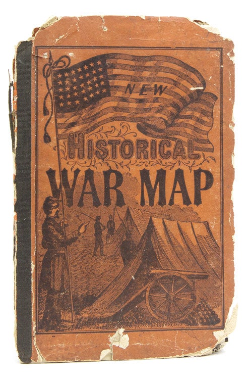
Phelps and Watson's Historical Military Map of the Border and Southern States.
New York: Phelps & Watson, Publishers, 16 Beekman St, 1864.
Price: $1,000.00
About the item
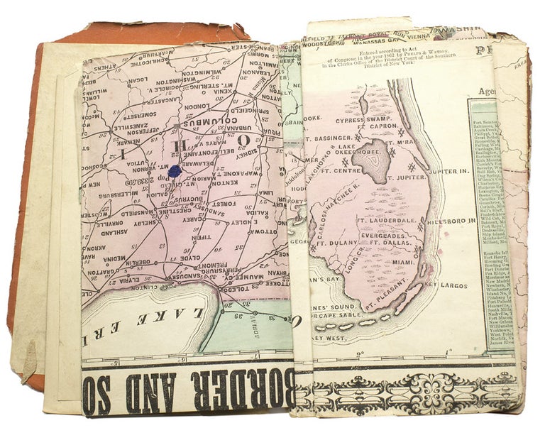
Fold out hand-colored map. 1 vols. 60 x 88 cm (35 x 29 inches), folded in cover to 18 x 12 cm. (6-1/2 x 4-1/2 inches); with 35 pp booklet “Brief Description of Battles and Skirmishes of he War”. Orange printed pictorial boards, cloth spine, with 35 booklet tipped to inside front cover. Fragile binding is splitting at cloth spine, corners are chipped; map torn along folds, one small tear into image. Interestingly, the map is stamped on the verso; "Price 50 cts. for the benefit of a one armed soldier"; and signed by an early NYC owner.
Item #215608
Fragile and very scarce map from the Civil War, this copy being issued after May, 1864, as the final entry on the accompanying booklet listing skirmishes concludes with 'spotsylvania, Pa." The map itself locates battles and skirmishes by means of red dots or by red underlining of place names, and it also gives the population statistics for each state. OCLC locates 4 copies, and the map is not in ot in Stephenson Civil War Maps in the Library of Congress.