A New Universal Atlas Containing Maps of the Various Empires, Kingdoms, States and Republics of the World. With a Special Map of Each of the United States, Plans of Cities, &c.
Philadelphia: Thomas, Cowperthwait & Co, 1852.
Price: $10,000.00
About the item
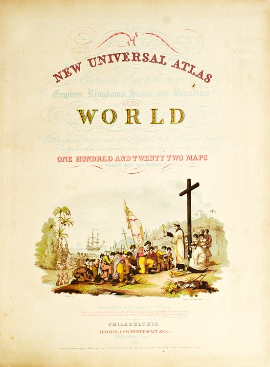
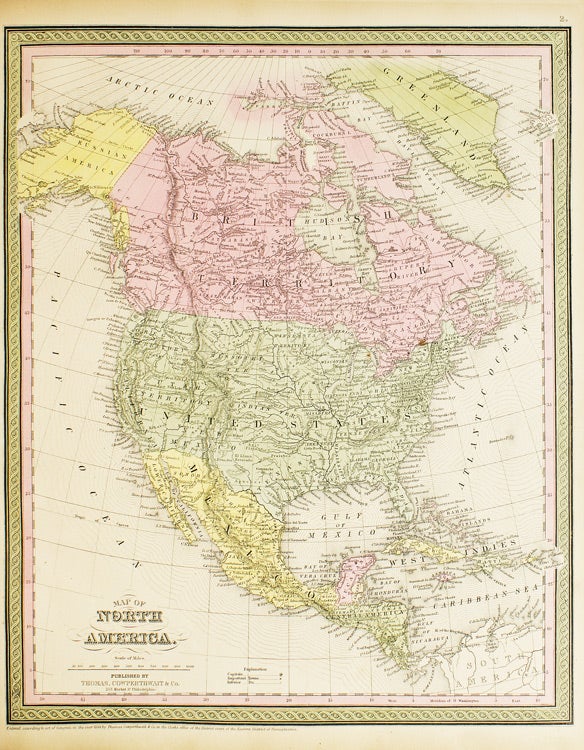
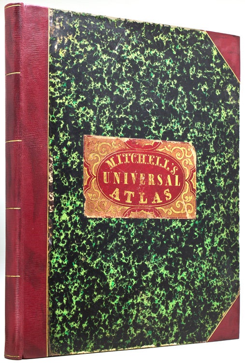
Chromolithograph title, hand-colored frontispiece, 73 hand-colored lithographic maps. 1 vols. Folio. Half red morocco in period style, original marbled boards, with printed label on upper cover, very clean. Phillips, 809; Ristow, pp.311-13; Rumsey, p.240.
Item #236680
Mitchell & Sons first published their NEW UNIVERSAL ATLAS in 1846 (having acquired Tanner’s NEW UNIVERSAL ATLAS in 1845) and printed it several times subsequently until 1850 when the firm sold the rights to Cowperthwait & Co. of Philadelphia, who published it until 1856, continually adding to and editing the hand-colored maps. Despite the attribute "Universal" in the title, the Atlas clearly concentrates on America, with 43 maps of the continent, and features a large, double-page transcontinental map of the U.S; and this 1852 Cowperthwait edition is the first to show counties in California and New Mexico.